Trail Walking La Bastide - Le Lachens-la Bastide-20-03-23 - Photo

Le Lachens-la Bastide-20-03-23

© OpenStreetMap contributors
Length
Length
19 km
Max alt
Max alt
1704 m
Uphill gradient
Uphill gradient
1034 m
Km-Effort
Km-Effort  
33 km
Min alt
Min alt
970 m
Downhill gradient
Downhill gradient
1034 m
Boucle
Boucle
Yes
Creation date :
2023-03-21 07:39:42.818
Updated on :
2023-03-22 17:55:02.014

(0 Reviews)

Walking
Walking
5h15
Difficulty : Difficult

Scan this QR Code to open this trail in the SityTrail application

FREE GPS app for hiking

Logo SityTrail SityTrail

IGN / Geographical institutes

Download SityTrail from the App Store Download SityTrail from Google Play

Logo SityTrail SityTrail Plus

The world is yours!

Download SityTrail from the App Store Download SityTrail from Google Play Download SityTrail on Huawei AppGallery

About

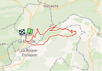
Trail Walking of 19 km to be discovered at Provence-Alpes-Côte d'Azur, Var, La Bastide. This trail is proposed by Christiancordin.

Description

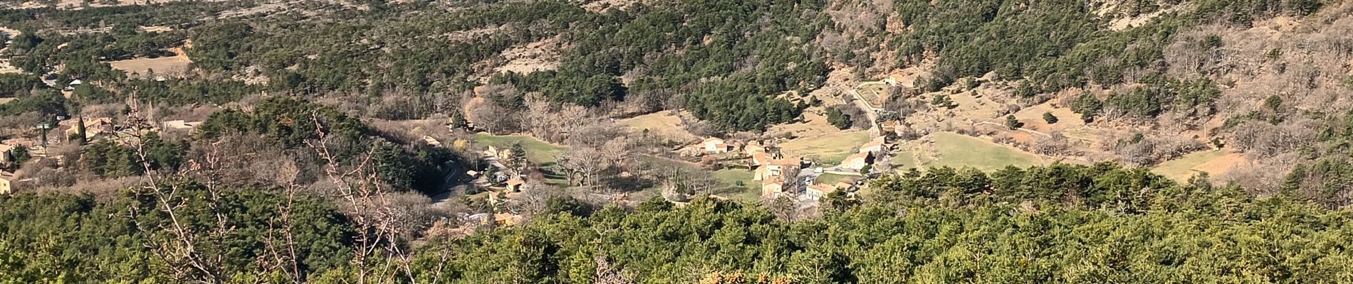
Départ  pk hôtel du Lachens la Bastide où nous étions la veille en demi-pension je le conseille-GR 49-château ruiné-belvédère-montagne du Lachens-sommet 1712m- GR 49-Esclapon-entre le 12ème et 13ème Km difficile hors sentier-les hauts Varnins-le bas Varuins-clos Maroui-la Bastide.

Elevation profile

Photos

Positioning

Country:
France
Region :
Provence-Alpes-Côte d'Azur
Department/Province :
Var
Municipality :
La Bastide
Location:
Unknown
Start:(UTM)
308759 ; 4845424 (32T) N.


Close
My subscriptions